Services
Four lines of drone work, each with a defined deliverable set agreed before the flight.
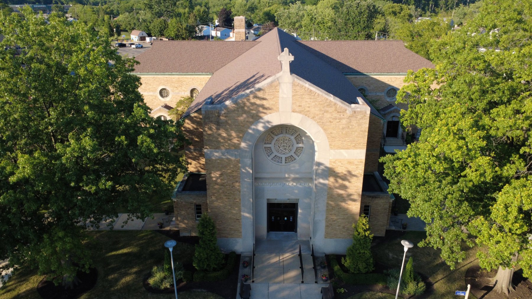
Real estate drone photography
Listing sets that show the lot, the roofline and the surroundings. Flown at the light you ask for, edited and delivered ready to upload.
- 12–25 edited stills, full resolution
- Optional 4K flyover video
- MLS-ready sizing on request
Construction progress tracking
Repeat visits flown from the same positions and altitudes, so month two lines up with month one. Useful for owners, lenders and site meetings.
- Consistent positions each visit
- Dated, matched viewpoints
- Scheduled monthly or by milestone
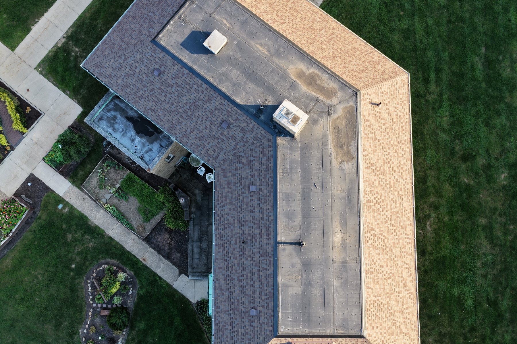
Roof & building imagery
Very high resolution close-range imagery of roofs, gutters, flashing and facades without a ladder or a lift.
- Close-range detail stills
- Stitched full-roof imagery
- Imagery only — no inspection findings or condition report
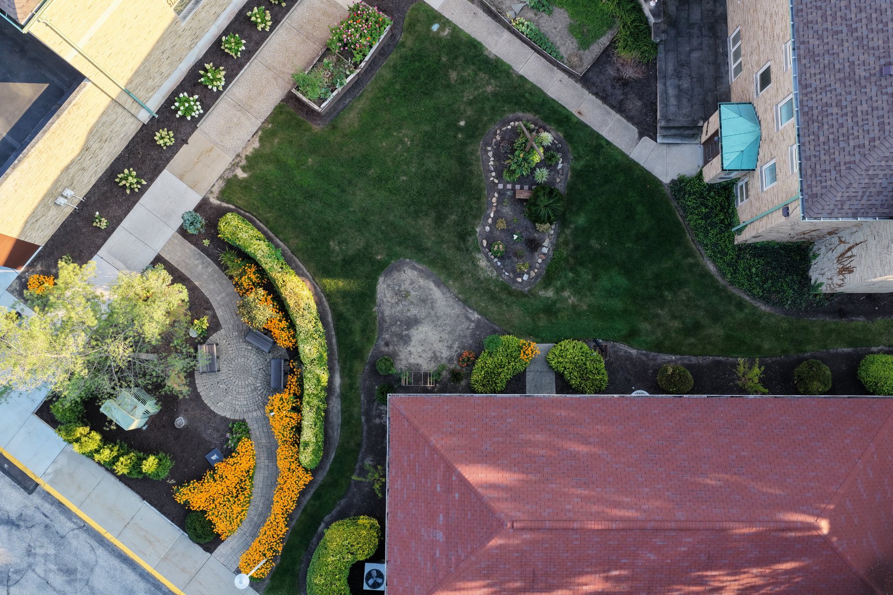
High-resolution overhead views
Straight-down passes flown on a grid at low altitude and stitched together, so the whole site reads in one very high resolution image. Illustrative imagery, not survey data.
- Stitched straight-down imagery, full resolution
- Whole-site coverage in one image
- No surveyed or geospatial data supplied
Certified remote pilot, fully insured. Airspace authorization requested where controlled airspace applies.
Akron, Kent, Hudson, Cuyahoga Falls, Tallmadge, Twinsburg, Aurora, Munroe Falls and Silver Lake, and the rest of Summit, Portage, Cuyahoga, Stark, Medina and Geauga counties. Further afield by arrangement.
Real estate agents, builders and contractors, land owners, municipalities and private clients.
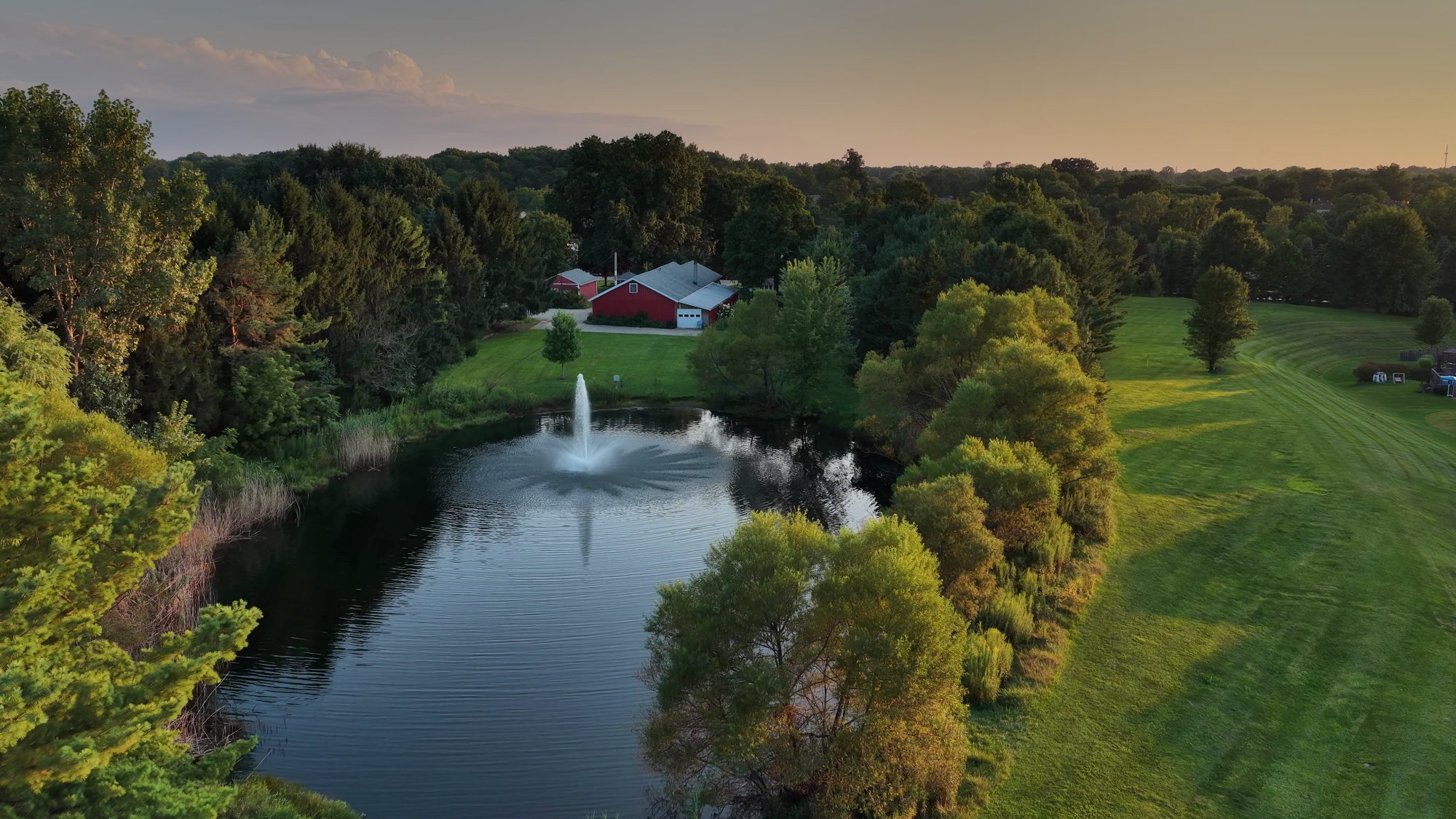
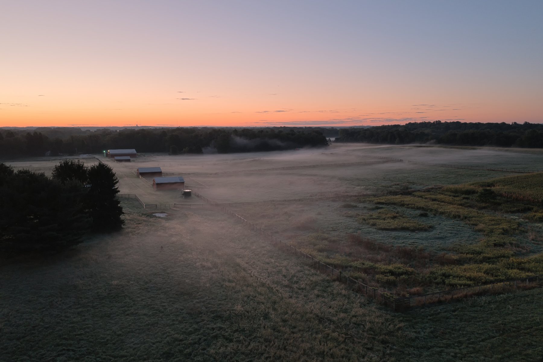
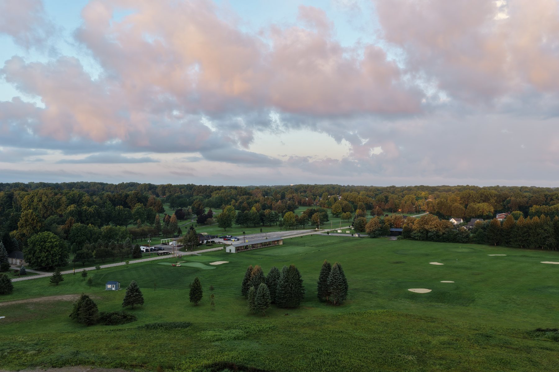
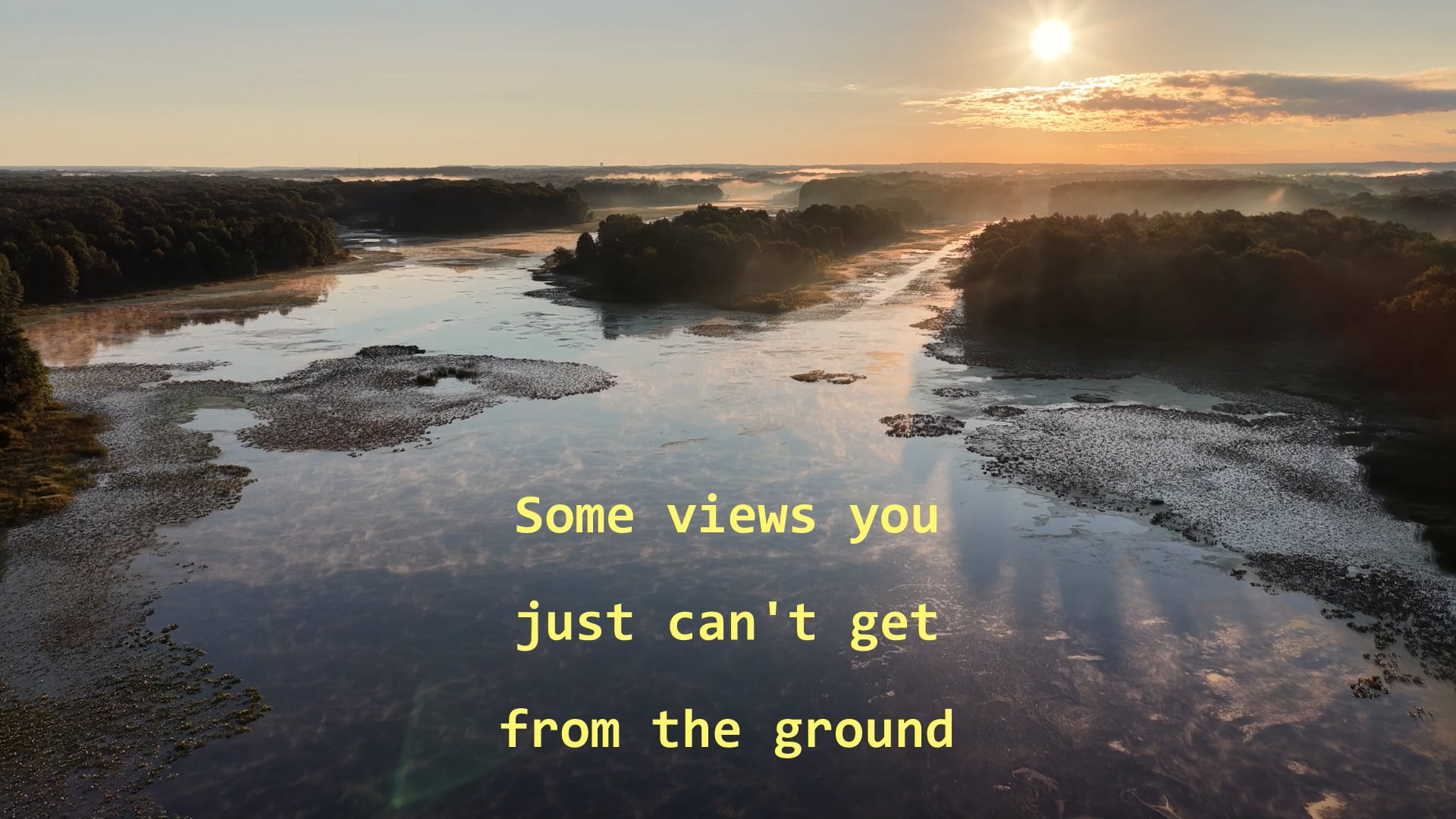
Showreel
Two minutes of recent flights
Free or reduced-rate flights for work that needs them.
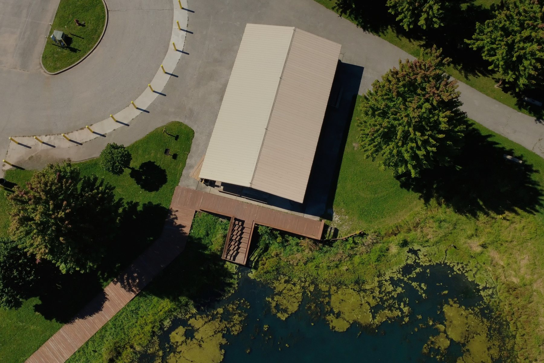
If you represent a nonprofit, a school or a science organization and aerial imagery would move your work forward, ask. Depending on the scope and the schedule, these flights are flown at no charge or at a heavily reduced rate.
Habitat and shoreline documentation, conservation monitoring, event and campus imagery, grant and outreach material. Same planning and same deliverables as paid work.
- +Registered nonprofits
- +University and school research projects
- +Conservation and watershed groups
- +Municipal and community initiatives
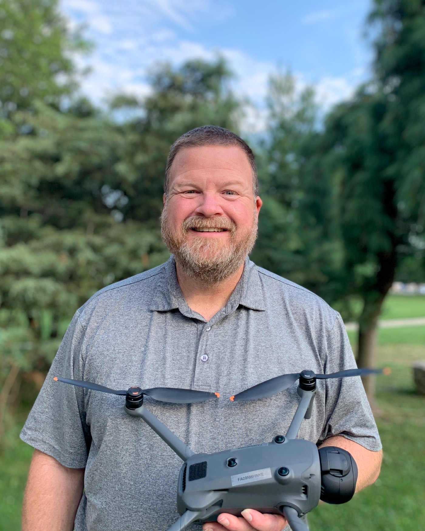
One pilot, one point of contact.
Bowling Aerial Services is a small drone photography operation based in Stow, Ohio. The person who answers your message plans the flight, flies it and edits the files. Nothing is subcontracted and nothing is guessed at.
I have been a photographer most of my life. The drone is a camera that goes where I cannot — the thinking about light, composition and what a frame needs to say is the same work it has always been.
My professional background is in network security and compliance, including medical devices — fields where the process is the product. The same habits apply here.
Every job starts with the same three questions: what do you need to show, who is going to look at it, and what format do they need it in. The flight plan follows from the answers.
Airspace, altitude and coverage confirmed before the visit.
Rescheduled at no charge when conditions fail the brief.
Delivered by download link, organized and captioned.
How I work
Safety, privacy and AI use →Send the details, get a scope and a price.
Send the address, the deadline and what the images are for. You will get a written scope and a price back, usually the same day.
Thank you — your request is in.
You will get a written scope and a price back, usually the same day. If anything is time-critical, reply to that email and say so.
Sent to jason@bowlingaerialservices.com